Iztaccihuatl – Test route #2
Iztaccihuatl – Test route #2
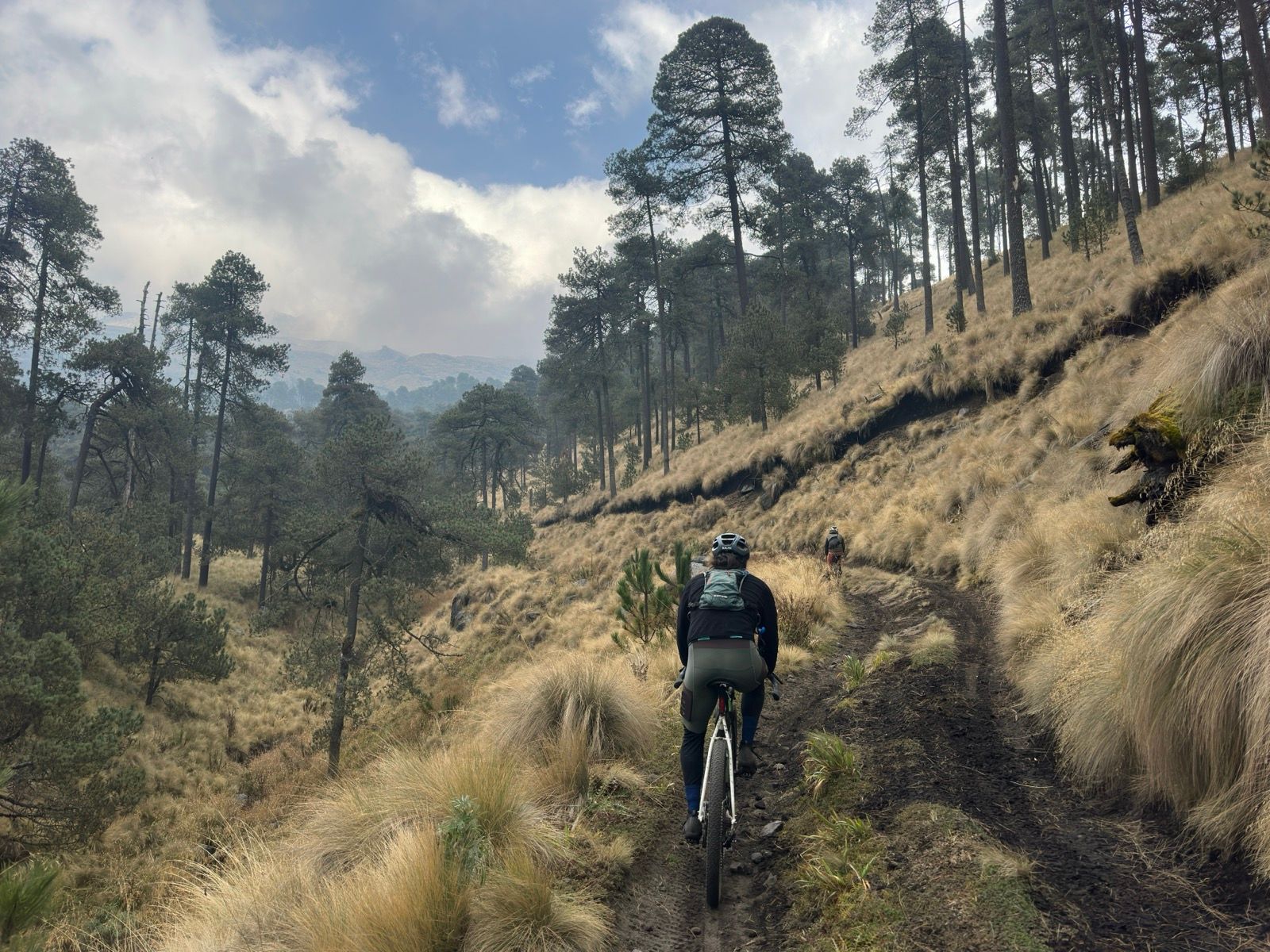
A lovely high altirude traverse of Volcán Iztaccíhuatl
First time META BOXES are wokring. nice!
this is a test route #2 post hopeful fix
Why is this route relevant?
Route Relevancy here
Editoridal section 2 example
Route Difficulty
Route Difficulty Context is here
Location Information
Understand more about the land this route travels through. Click for more detailed information.
📍 Geopolitical
⛰️ Geographic
✺ Indigenous Lineage
Pre-hispanic and Present Day Indigenous Communities
Contributor
Main Publisher

Related Organizations

Tepetl
Tepetl is an ongoing initiative to compile and archive fragmented local knowledge of lesser-known and un-mapped areas in Mexico, and eventually all of LATAM through inviting local riders and organizers to contribute in a unified place, where data and knowledge…
View Organization →Route Discussion
Local Knowledge. Current Conditions. Community Insight.
Soon, this space will connect you with other riders to share route conditions, local tips, and practical knowledge. Help keep Tepetl routes current and the community informed.