Distance
— km
— mi
Climbing
— m
— ft
Descent
— m
— ft
Max Elev
— m
— ft
Min Elev
— m
— ft
Difficulty
1/10
% Unpaved
—
Segment Type
Climb
Max Grade
—
Bike
Mountain bike
Total distance: 11.58 km
Max elevation: 3851 m
Min elevation: 3278 m
Total climbing: 120 m
Total descent: -693 m
Download file: Bajado-Desierto-CR.gpx Max elevation: 3851 m
Min elevation: 3278 m
Total climbing: 120 m
Total descent: -693 m
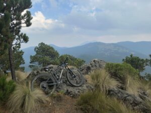
Cooper Favorite Run from the top of Desierto
Bajadota Desierto de Los Leones (Segment test 2) (edited)
text block body test
test block 2
location below?
Distance: —
Climbing: —
Descent: —
Max Grade: —
Max Elevation: —
Min Elevation: —
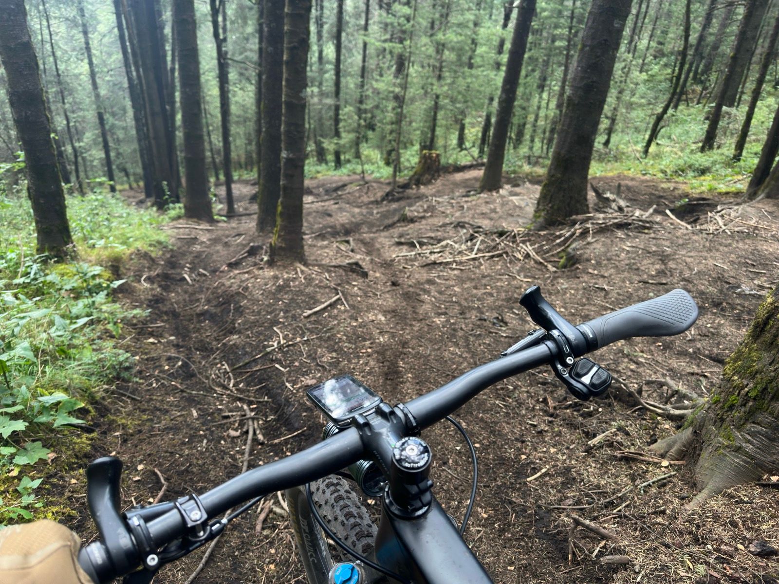
Road Condition: Good
Terrain Conditions: loose, loamy, tacky
⚠️ Watch For: technical, steep
⚠️ Caution Advised
Near la cima de Cerro Muñeco, or leaving towards Acopilco.
Total distance: 11.58 km
Max elevation: 3851 m
Min elevation: 3278 m
Total climbing: 120 m
Total descent: -693 m
Download file: Bajado-Desierto-CR.gpx Max elevation: 3851 m
Min elevation: 3278 m
Total climbing: 120 m
Total descent: -693 m
Contributors
Why This Segment Matters
killer MTN run down through desierto